



Opening of High-Mountain Shelters in the Écrins Region—Spring 2026
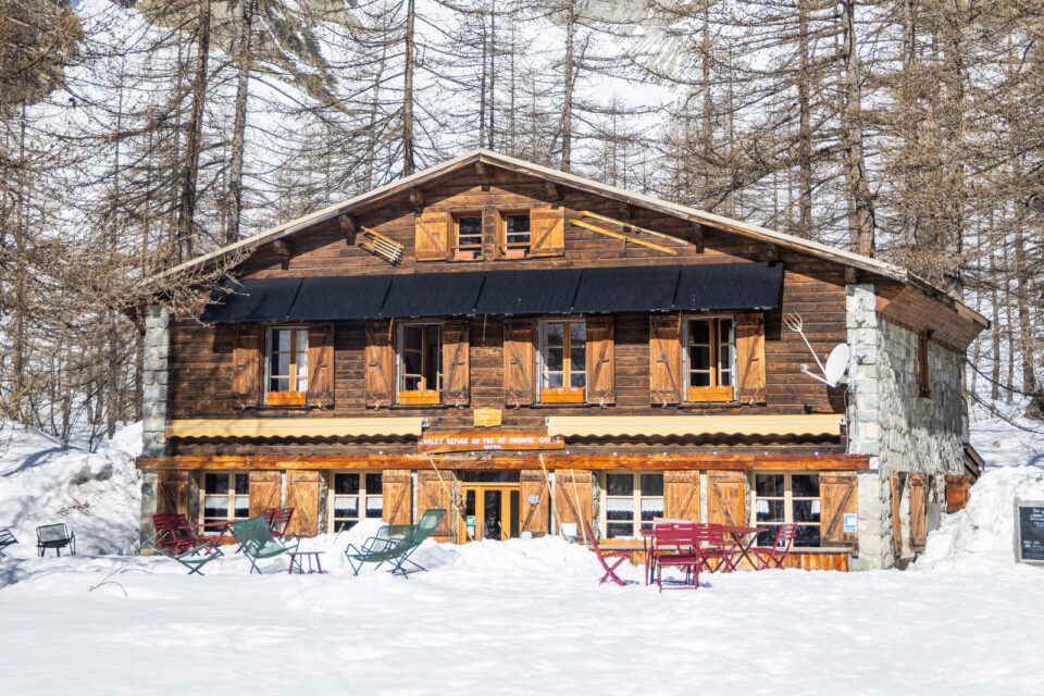
Pré de Madame Carle Shelter
OPENING: March 14, 2026
The Pré de Madame Carle mountain hut is located at the foot of Mont Pelvoux and the Écrins, above the hamlet of Ailefroide; it’s the ideal starting point for your hikes
- Access on foot, on snowshoes, or on touring skis from the Claux Tunnel
Écrins Mountain Hut
OPENING: March 14, 2026
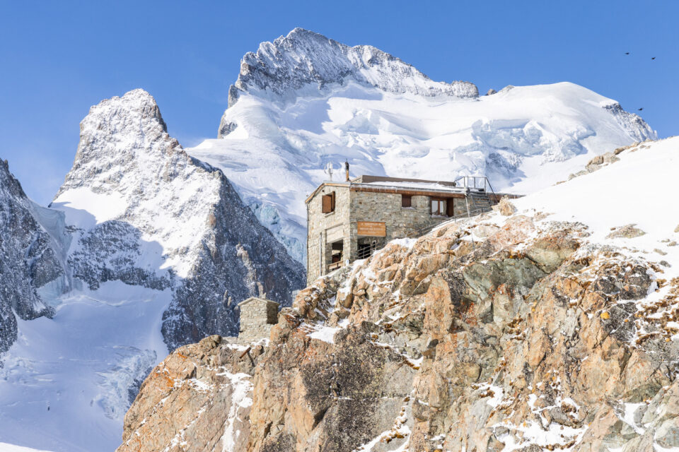
Perched at an elevation of 3,170 meters on a rocky outcrop, this hewn-stone refuge offers a spectacular view of the majestic Barre des Écrins.
- Practical Information: Elevation gain: +1,300 m | Ascent time: approx. 4 hours 30 minutes | Glacier climbing gear required (crampons, harness, rope).
- Start/End: Pré de Madame Carle (access via the Glacier Blanc).
Glacier Blanc Shelter
OPENING: March 28 2026
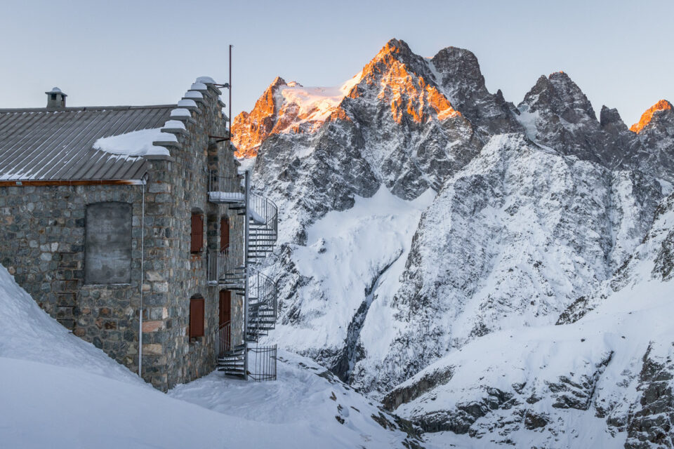
An iconic hike that lets you get up close to the eternal ice and follow in the footsteps of the 19th-century mountaineering pioneers.
- Practical Information: Difficulty: Moderate | Duration: 3 hours 30 minutes | Distance: 9.1 km | Elevation gain: +/- 720 m.
- Start / Finish: Pré de Madame Carle, Pelvoux.
Sélé Shelter
OPENING: May 23 2026
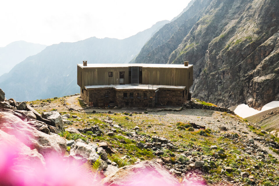
A wild adventure deep in the high mountains, winding through a legendary valley and featuring a technical and impressive cliff crossing.
- Practical Information: Difficult | Duration: 6 hours 15 minutes | Distance: 14.9 km | Elevation gain: +/- 1,012 m.
- Start / Finish: Ailefroide.
Pelvoux Mountain Hut
OPENING: May 29, 2026
A challenging hike along a pleasant trail that takes hikers to one of the most significant historical sites in Alpine history.
- Practical Information: Difficulty: Difficult | Duration: 7 hours | Distance: 14.1 km | Elevation gain: +/- 1,184 m.
- Start / Finish: Ailefroide (direct access to the mountain hut).
Refuge des Bans
OPENING: May 29, 2026
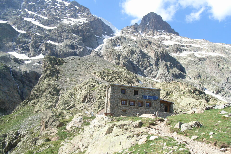
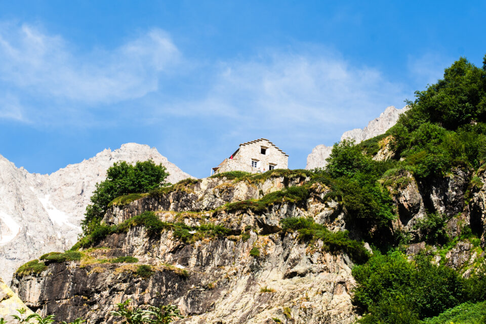
This cozy lodge, certified with the “Esprit Parc National” label, is nestled at the foot of peaks over 3,000 m in an unspoiled alpine setting.
- Practical Information: Difficulty: Moderate | Duration: approx. 2 hours (ascent) | Distance: 8.4 km | Elevation gain: +/- 472 m.
- Start / Finish: Entre-les-Aygues, Vallouise.