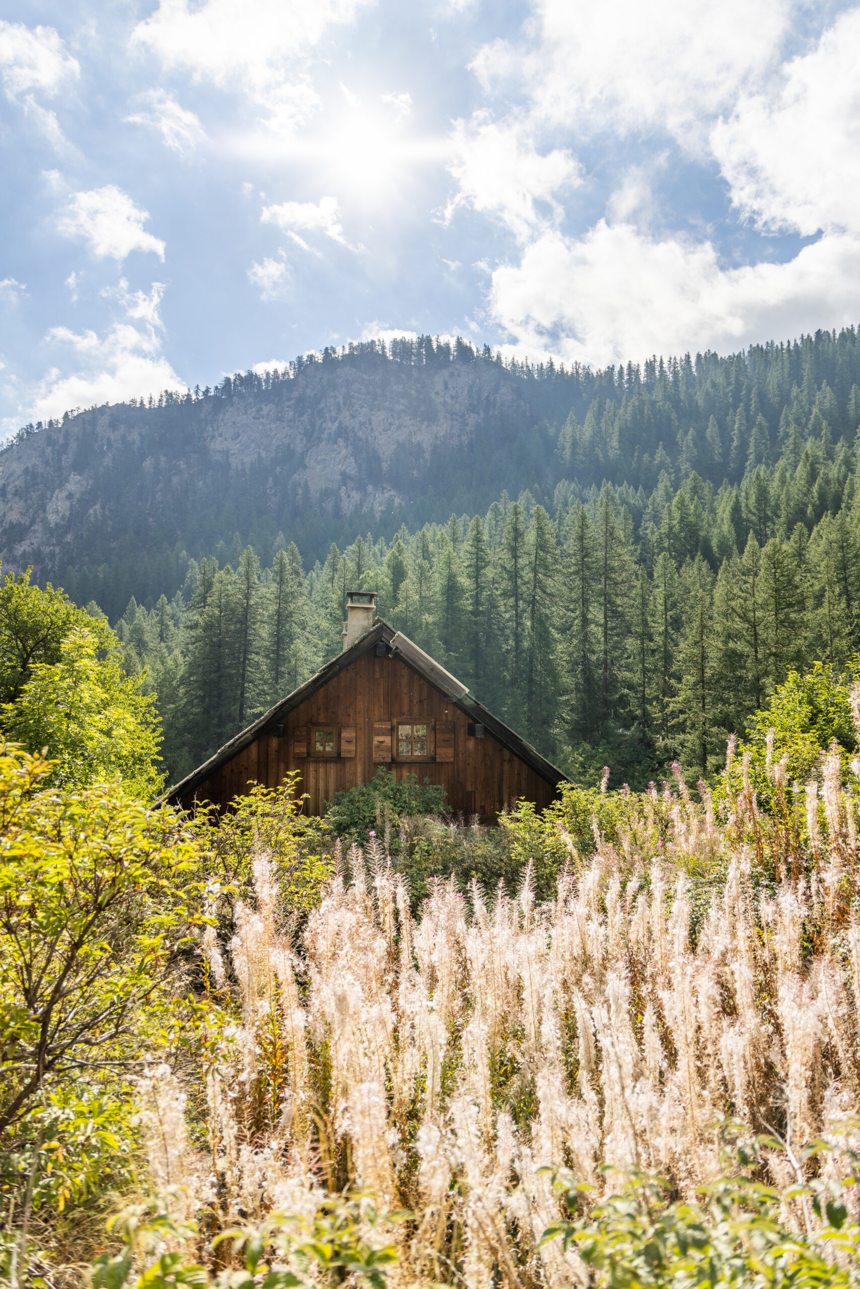
Hiking and Trail
Hiking and trail running High altitude trails and panoramic views
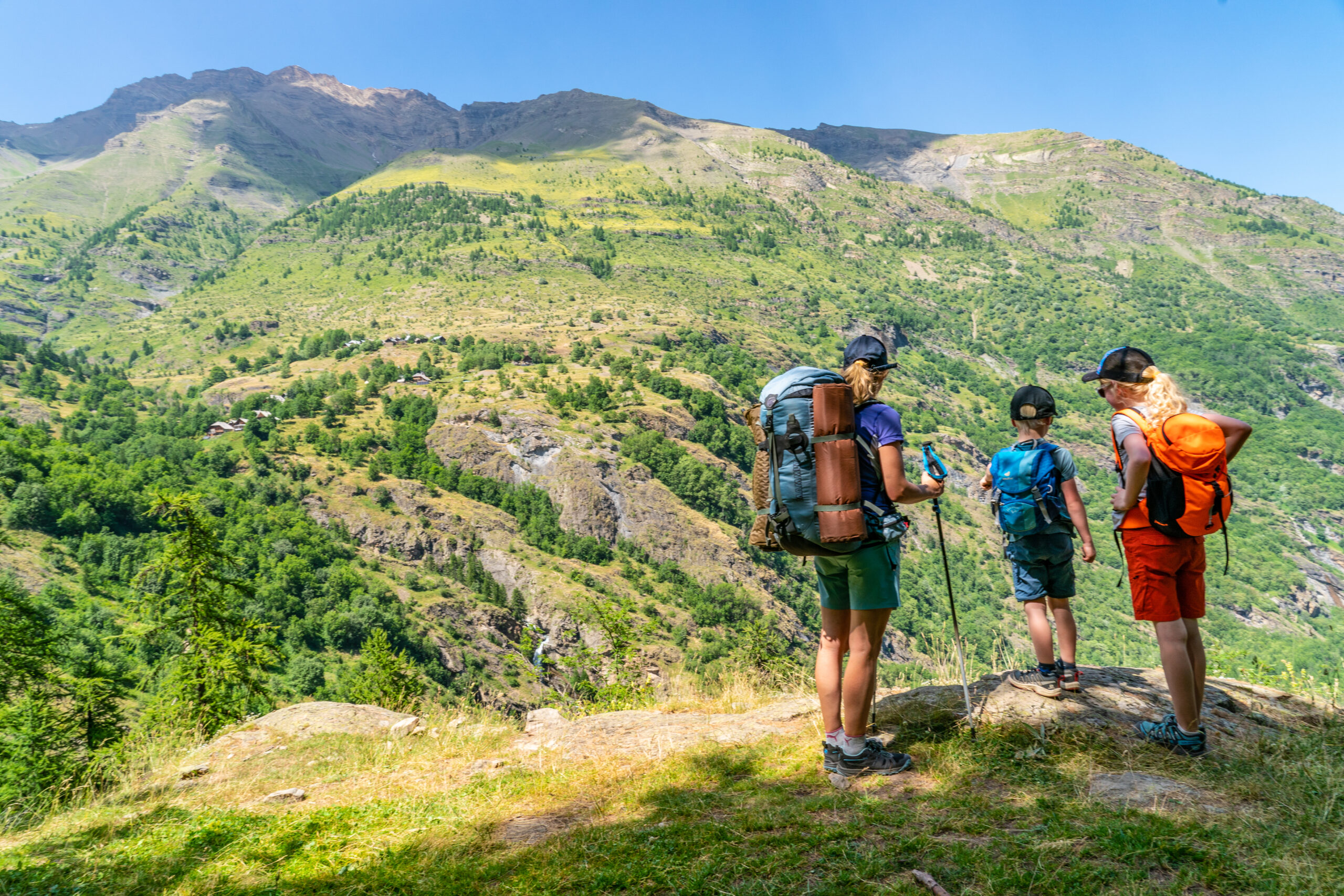
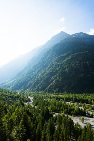
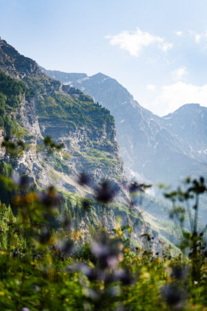
Explore more than 350km of marked trails between 1,100 m and 3000 m above sea level, where each bend reveals a panorama of the ridges and peaks of the Écrins. Whether you are a trail runner looking for challenging elevation changes or a family hiker, you will find a variety of loops — through the undergrowth, alpine pastures and panoramic ridges — punctuated by lookouts and hanging hamlets.
A multitude of ways to discover the mountain
- RANDONNÉE
- ITINÉRANCE
- TRAIL
- MARCHE NORDIQUE
RANDONNÉE
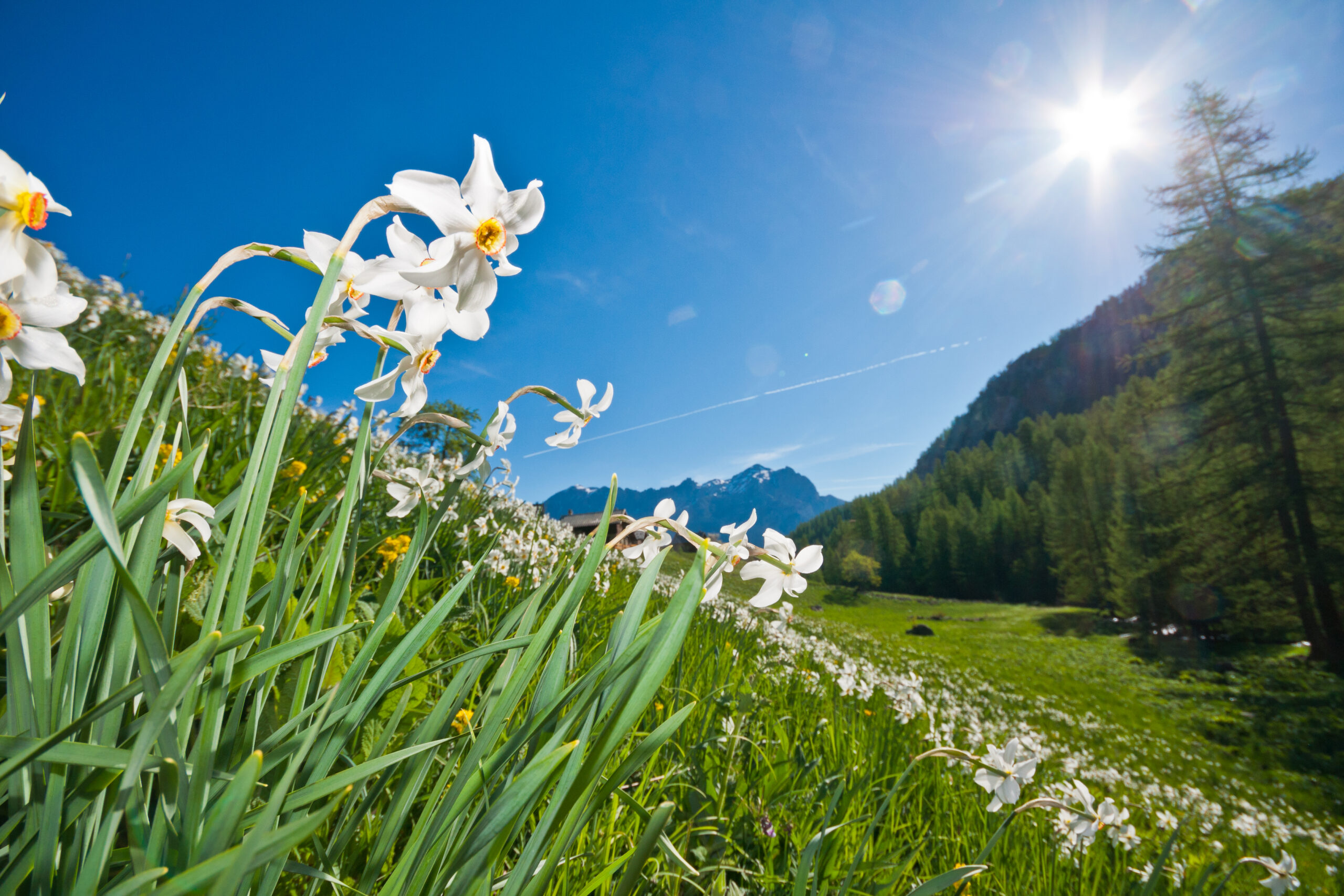
Glaciers, lakes, alpine pastures The most beautiful hikes in the Écrins
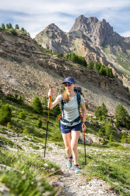
Want to hike in the fresh air? Welcome to the Pays des Écrins, the perfect destination for a hike in the Southern Alps, between glaciers, torrents and flowery mountain pastures. More than 900 km of marked trails await you, from family walks to more sporty ascents. Here, everyone walks at their own pace, without pressure, just for fun.
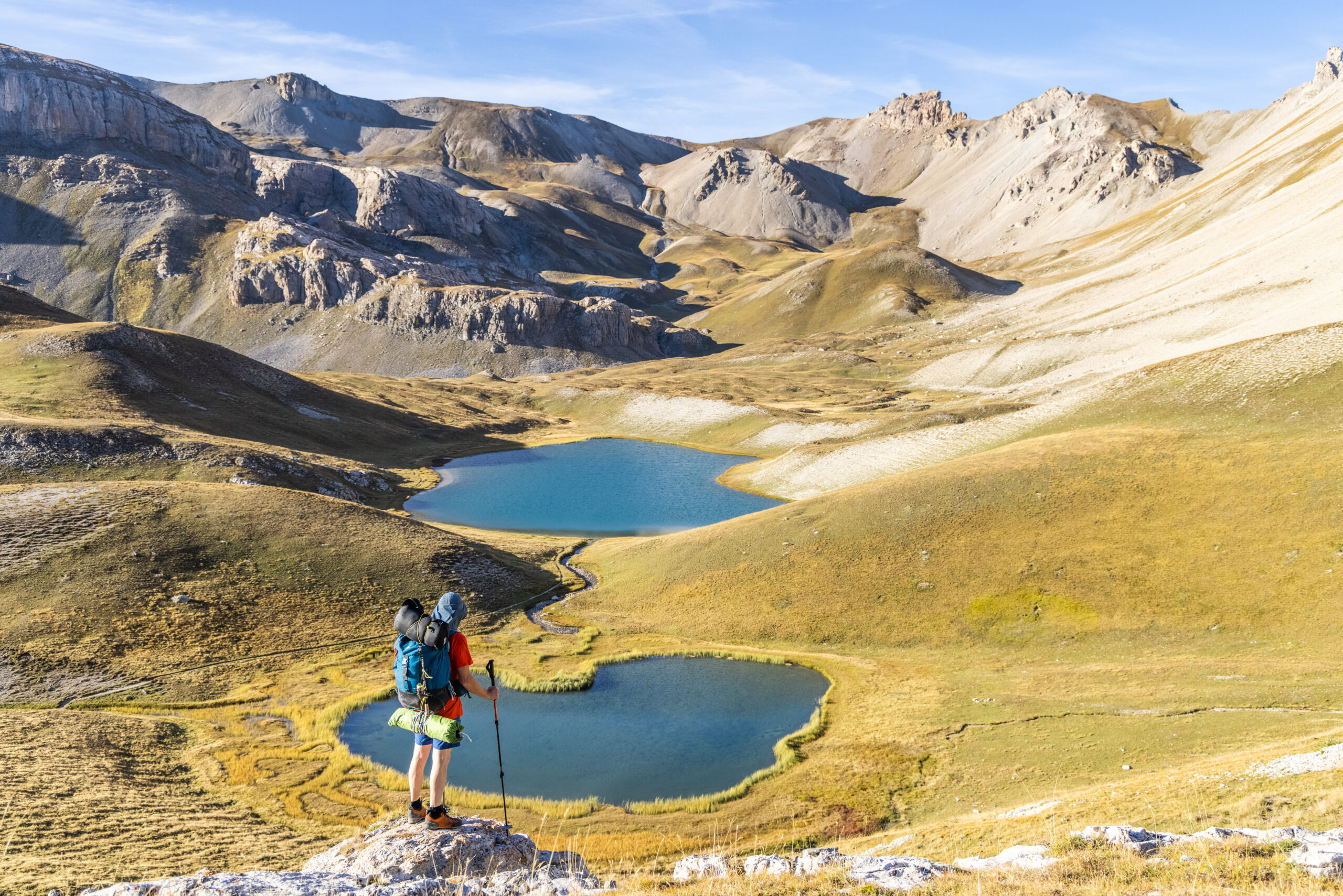
A range of valleys and peaks
From the bottom of the Durance valley to the glacial ridges, the network of more than 350 km of marked trails is available in a variety of routes. Hikers can take balcony paths, along torrents or climb passes that reveal, on a clear day, the silhouette of the Pelvoux (3,946 m) and the great peaks of the Ecrins (Bans, Ailefroide, Pic Sans Nom).
Hikes inthe top of the resorts
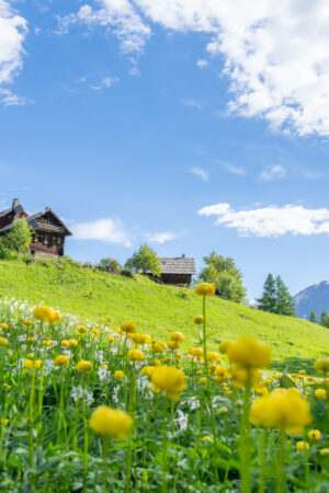
Starting from Vallouise, the trails wind between larches and torrents to offer panoramas of the mountain pastures and the surrounding massifs. The resort of Pelvoux-Vallouise offers direct access to 2300m of altitude by chairlift from where the trails start to the lake of Puy-Aillaud in an hour of walking or the summit of the Blanche (2953m). Not far from there, Puy Saint Vincent highlights the Giants’ Trail, which descends to the Pré Rouge mountain pastures, while the routes leading to the Narreyroux valley or the Plateau des Têtes (2,044 m) offer unobstructed views of the Vallouise valley.


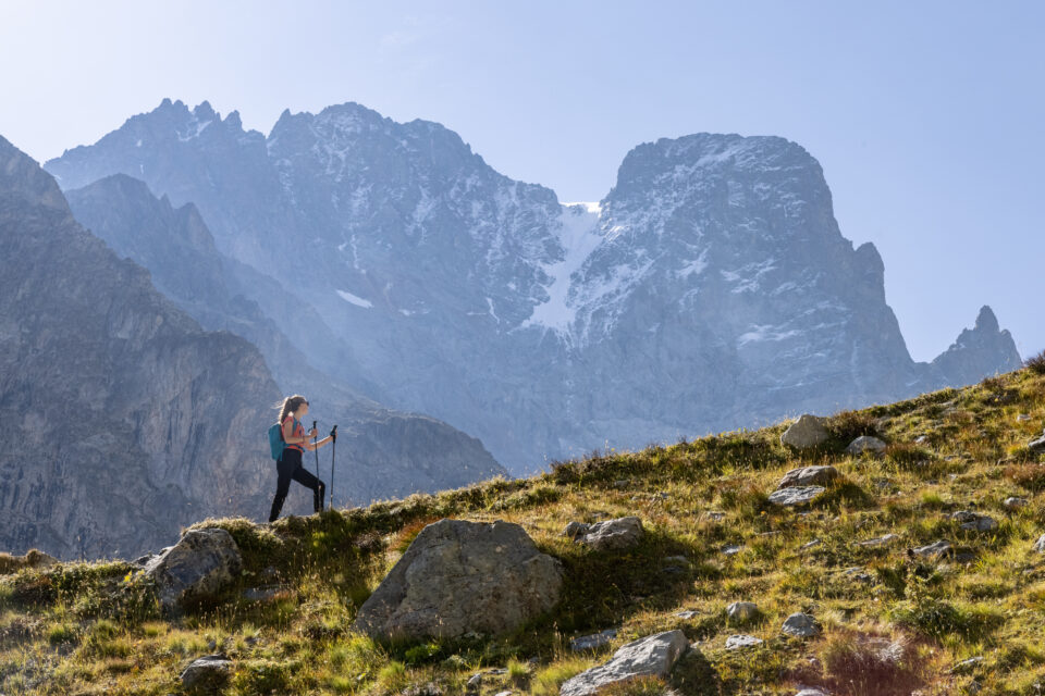
High altitude routes
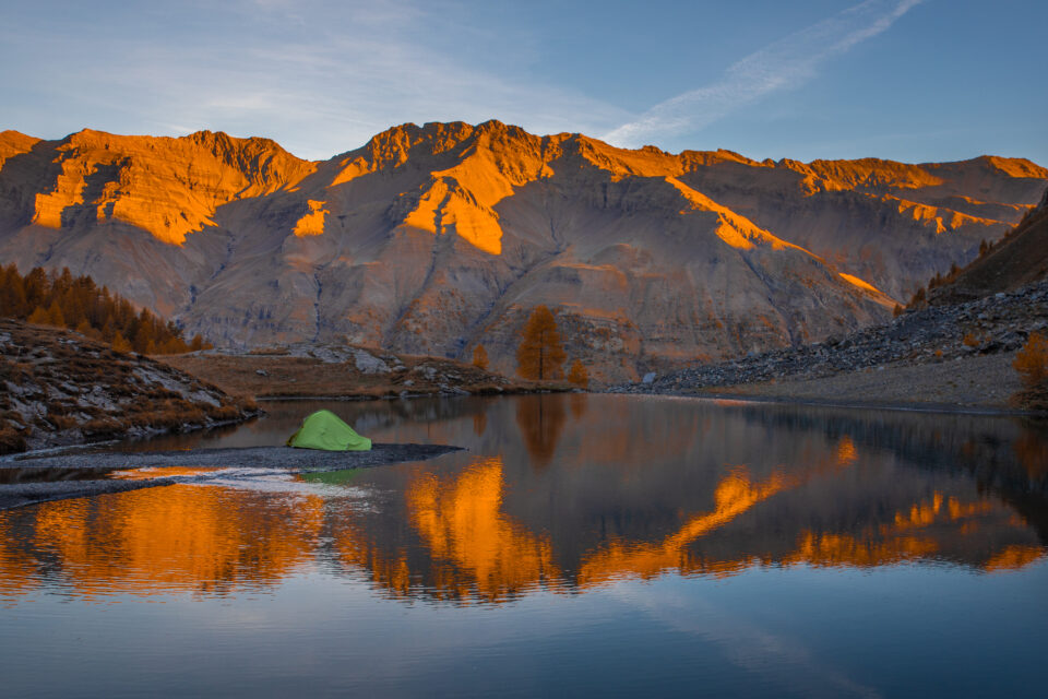
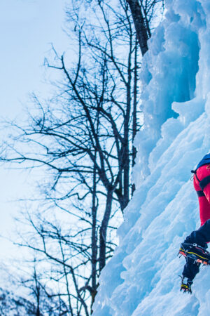
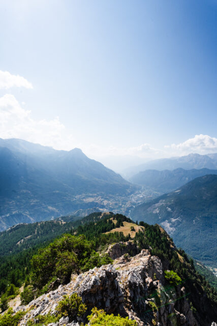
From mid-June, the high-altitude trails open up to hikers wishing to walk along moraines and firns. The approach to the Glacier Blanc from the Pré de Madame Carle or the ascent of the Pic du Glacier d’Arsine invite you to evolve in a mineral landscape, where the panoramas of the surrounding ranges reward the effort made.
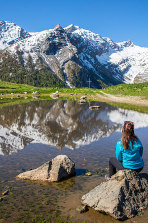
Loops To the lakes
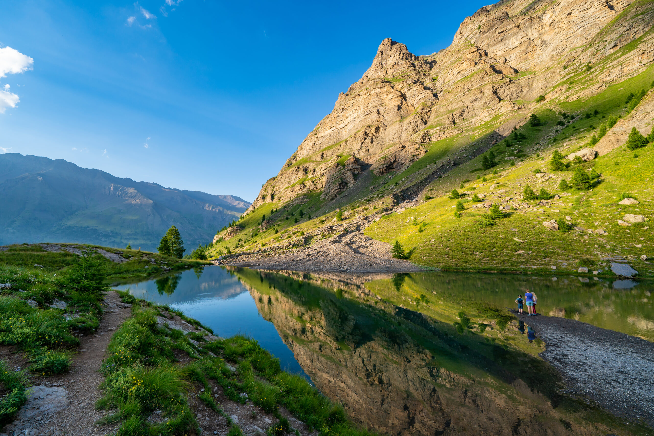
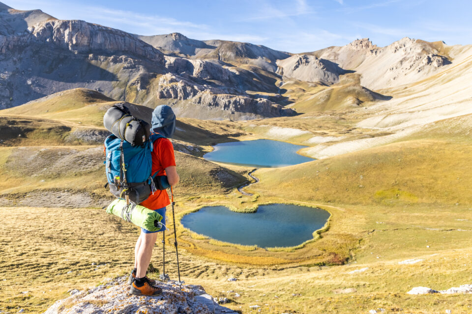
High-altitude lakes line the routes and offer refreshing breaks. Lake Ascension, perched at 2,100 m, or Lake Puy-Aillaud or Lake Eychauda from the Chambran plateau are routes that can be practiced without any particular technical equipment. These contemplative stops, with their clear waters, pleasantly punctuate the days of walking.
Discover the Durance Valley
The paths along the Durance reveal another facet of the Écrins, where pastures and hamlets alternate with orchards and pastoral remains. On routes without significant elevation, it is possible to discover the local heritage while enjoying views of the river and the peaks that frame it.

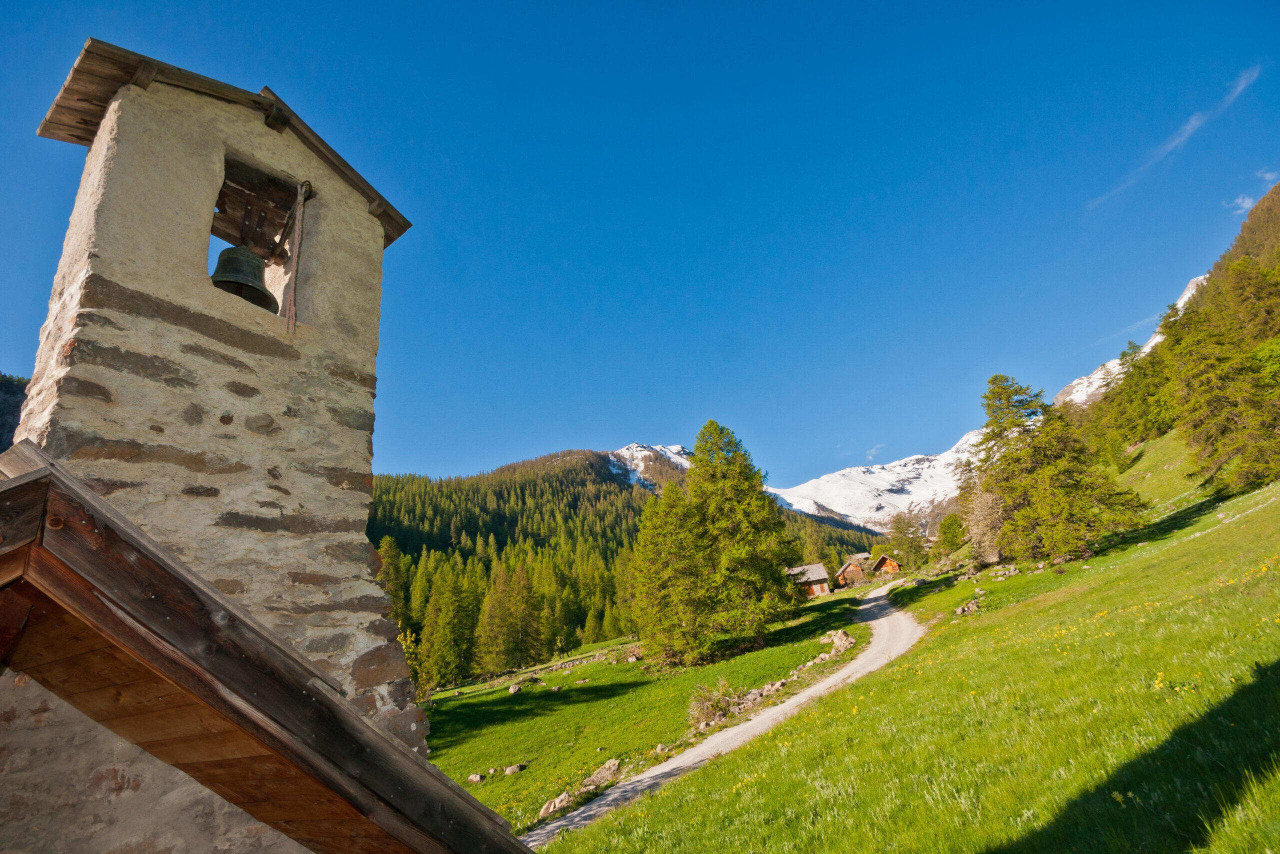
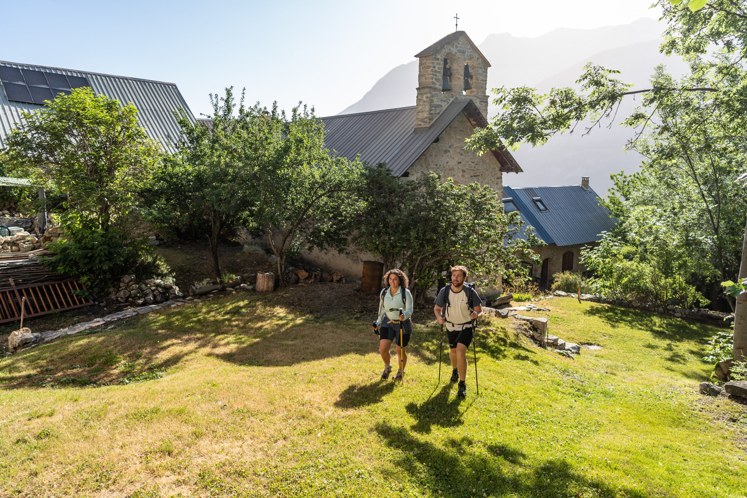
Freissinières and Dormillouse
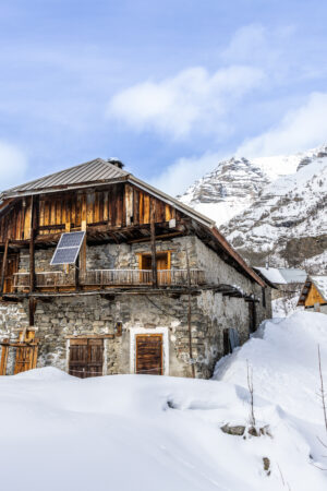
The hamlet of Dormillouse, accessible only on foot from Freissinières in less than two hours, is a timeless getaway. Its slate roofs and small hanging vegetable gardens are reminiscent of traditional architecture, while the surrounding paths remain quiet and uncrowded.
In the heart of the Écrins National Park
The routes within the heart of the Écrins National Park are subject to strict regulations to protect the fauna, flora (including many rare or endemic species) and pastoral balances. It is forbidden to pick or take plants, flowers, mushrooms, minerals or fossils, and dogs are not allowed, even on a leash (except working dogs, guide dogs or dogs on official missions). The bivouac is very supervised : allowed only between 7 p.m. and 9 a.m., more than an hour’s walk from the limits of the heart, and without lights. We also avoid the release of drones, motorized or mountain bike traffic, and each visitor must bring down his or her waste. These rules, applied and explained by the park rangers, ensure respectful visitation and preserve the tranquility of the environments and species.
4 must-do hikes

Need a guide? They support you
Discover our service providers specialized in hiking and trail running, who will guide you both during family walks and in your most demanding routes. Book your activity and explore the most beautiful trails in the Pays des Écrins.


ITINÉRANCE
Itinerant hikes
Looking for adventure? Discover itinerant hiking and evolve over several days of marked stages (walks, long routes, country trails), changing accommodation every evening (refuges, gîtes or campsites) treat yourself to a prolonged immersion in the contrasting landscapes of the Pays des Écrins!
3 days Tour of the Pays des Écrins
This 38 km loop (1,813 m D+) starts in L’Argentière-la-Bessée and is completed in three stages:
- Day 1: L’Argentière-la-Bessée → Bouchier (11.7 km, +700 m, 4 h) – gradual ascent out of the industrial valley to the hilltop hamlet of Bouchier, between alpine pastures and cliffs.
- Day 2: Bouchier → Vallouise (11.6 km, +415 m, 3 h 30) – balcony trail above the Gyronde, with the Pelvoux and the Glacier Blanc as a backdrop.
- Day 3: Vallouise → L’Argentière-la-Bessée (15 km, +698 m, 5 h) – return via the superb Col de la Pousterle, offering a last panorama of the valley.
6 days Tour of the Pays des Écrins
This complete crossing of the Vallouise valley, then the Fournel and Freissinières is divided into six stages:
- L’Argentière-la-Bessée → Bouchier 11.7 km, +700 m (4 h) – contrast between the historic factory and the wild mountain pastures.
- Bouchier → Vallouise 11.6 km, +415 m (3 h 30) – gradual immersion in the valley dominated by the Montbrison.
- Vallouise → Ailefroide 10 km, +580 m (3 hours 30 minutes) – transition from plant to mineral under the glaciers.
- Ailefroide → Puy-Saint-Vincent, 1400 m , 16.2 km, +650 m (6 h) – alternating climbs and descents between tourist hamlets.
- Puy-Saint-Vincent → Freissinières 16 km, +900 m (7 h) – crossing two passes to switch to the Freissinières hanging valley.
- Freissinières → L’Argentière-la-Bessée 13.7 km, +680 m (4 h 30) – technical stage between cliffs, forests and dolomitic needles
GR 54 The Grand Tour of the Écrins
A real high-mountain loop of 184 km, the GR® 54 can be covered in 10 to 15 days and accumulates more than 12,800 m of elevation gain. It crosses 14 Alpine passes, crosses alpine hamlets and glacial valleys, offering a committed itinerary reserved for seasoned hikers: immersion on the highest peaks (Barre des Écrins 4,102 m, La Meije 3,983 m), basic refuges and high-altitude atmospheres. The main starting points are from Bourg-d’Oisans, L’Argentière-la-Bessée or La Grave, depending on the variant chosen.
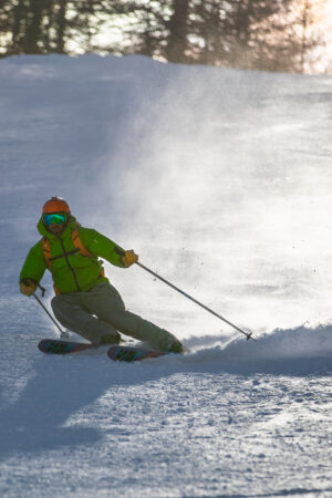
TRAIL
Miles and characterTrail running made in Écrins
Do you want to run in the fresh air, between turquoise torrents, larches and glaciers? Welcome to the Pays des Écrins, an ideal playground for all trail lovers, from beginners to ultra runners. Here, we line up the kilometers… without losing sight of the panoramas.
Pays des Écrins The Trail Station
The Pays des Écrins Trail Station, created in 2013 and managed by the Community of Municipalities, offers a network of 32 marked routes totalling 470 km of trails, from vertical kilometres to medium and long-distance loops, with elevation changes varying from a few hundred to more than 1,500 m depending on the route. In winter, five “Snow Trail” courses allow you to run on groomed snow.

Reception base and services
The bases dedicated to trail running are located in Saint-Martin-de-Queyrières, Les Vigneaux, Vallouise, Freissinières and La Roche-de-Rame. You will find changing rooms and showers (€2), timer terminals, as well as, on request, coaching and field advice . Nearby, partner accommodation offers the booking of “special trail” stays to fully immerse yourself in the adventure.
Trail events in the Écrins
Every season, the destination is the scene of unmissable events for mountain running enthusiasts.
- The Grand Trail des Écrins, organised every year in June in Vallouise, offers four formats from 11 km to 57 km (up to 3,300 m D+) for all levels, between sporty loops and ultra courses.
- The Pilgrimage Trail Running, at the beginning of July in Puy-Saint-Vincent, consists of two stages of 25–30 km (+ 2,000 m) and 30–40 km (+ 2,000 m) at an altitude of more than 2,600 m, combining sporting challenge and group spirit.
- The Trail de la Haute Durance, every May around L’Argentière-la-Bessée, offers three routes of 7, 13 and 31 km with spectacular panoramas of the Durance valley and the Écrins massif.
MARCHE NORDIQUE
Invigorating and accessible Nordic walking
Need to move without pushing your joints too much? Nordic walking in the Pays des Écrins is the perfect ally. Two poles, one dynamic stride, and you’re off between forests, torrents and glacier views.
The basics to get started
To get Nordic walking off to a good start, adopt the essential gesture: synchronize the arm opposite the leg, plant the poles behind you and push up to the toes, opening your hand to release the strap. Start on flat ground, then gradually integrate 200 to 300 m of elevation gain to strengthen your movement and improve your breathing.

WherePractice?
To refine your technique and vary the pleasures, here are three must-see sites:
- Vallouise Valley: flat route along the Gyronde, ideal for testing the movement and finding your rhythm.
- Freissinières: wide forest tracks with enough space to set your pace and enjoy the shade of the larches.
- Narreyroux: gradual ascent to a panoramic belvedere, perfect for working on endurance and hill climbing.
We take care of everything, you enjoy
Discover our all-inclusive stays and let us organize your mountain immersion: accommodation, guided activities, and local experiences are gathered for you. Choose your formula, from a rejuvenating weekend to a week of adventure, and take full advantage of the landscapes, the know-how and the conviviality without worrying about anything.