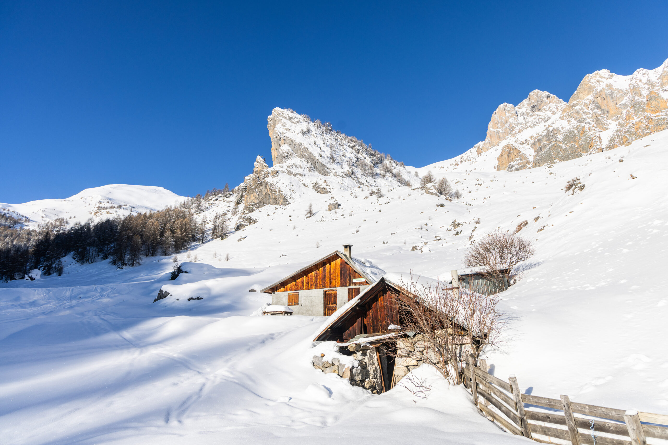
Champcella Between Roman remains and rural traditions
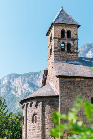
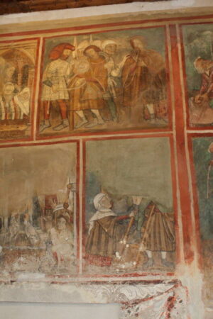
Champcella, perched on the balconies of the right bank of the Durance, is the link between the Durance valley and that of Freissinières. Shared in hamlets, it combines architectural heritage (ovens, fountains, stone houses, Saint-Laurent-de-Rame chapel) and ancient traces with the site of Rama, a stop on the Roman road Via Cottia per Alpem. The town church, the Gallo-Roman remains and the stepped landscape — from the bottom of the valley to the mountain pastures of Tramouillon and Val-Haute — give this territory a marked identity, bathed in generous sunshine and a southern climatic influence.
Grand tour of the Écrins GR54 tour of the Pays des Écrins Freissinières the trail of the Gouffre de Gourfouran
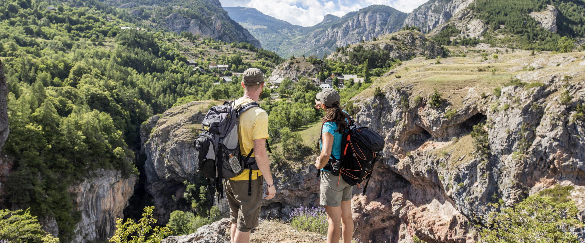
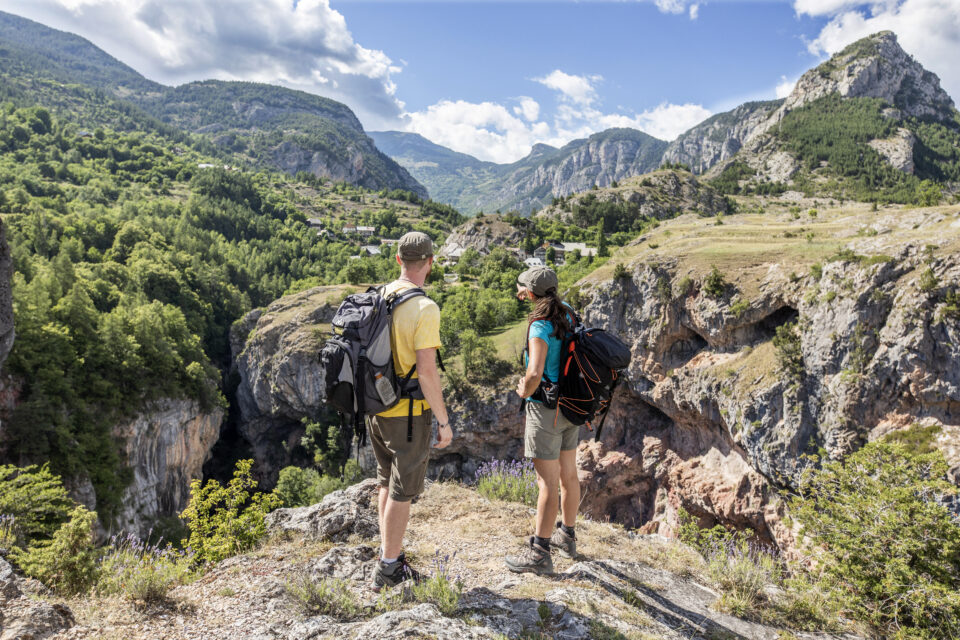
On the side of the Outdoor activities
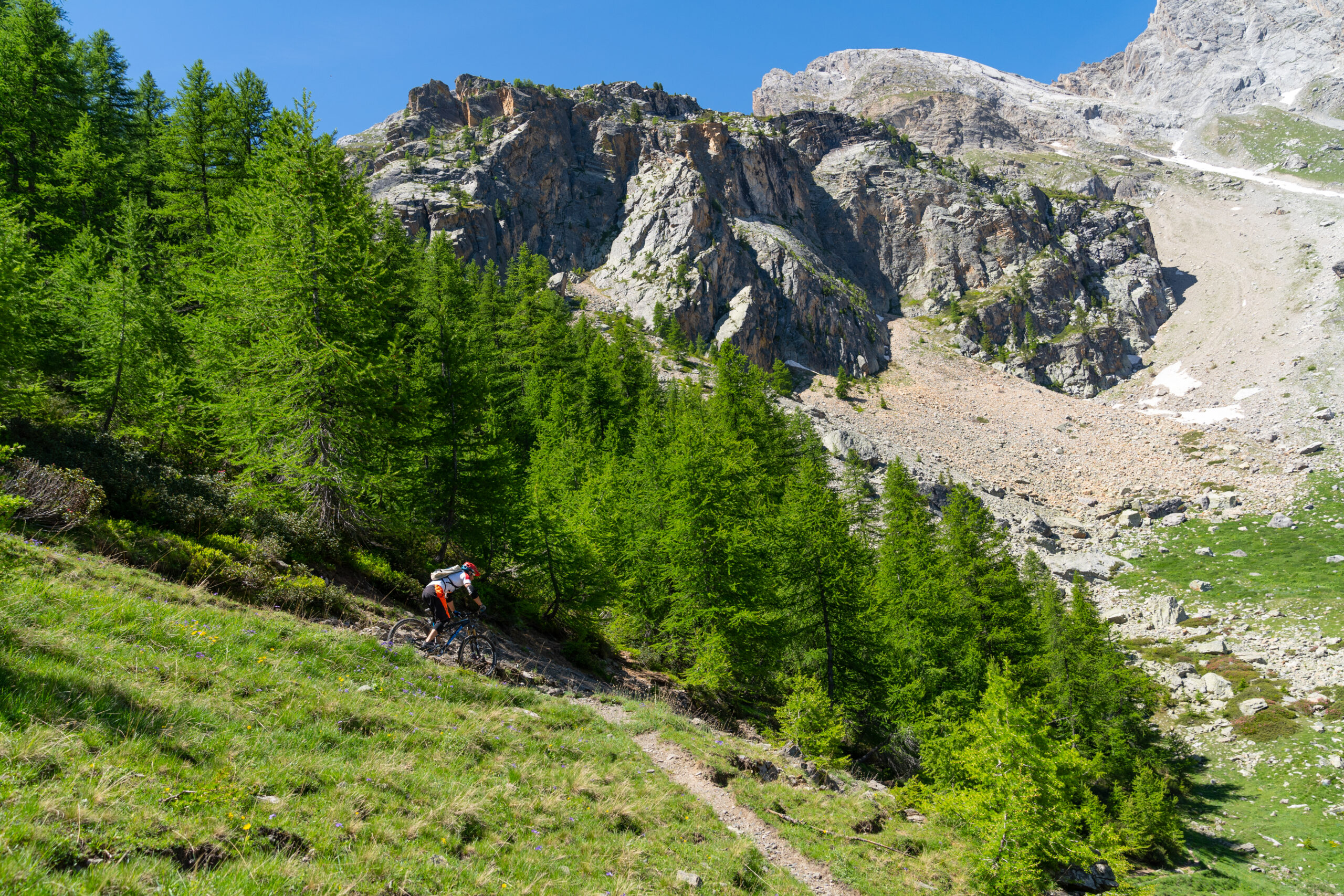
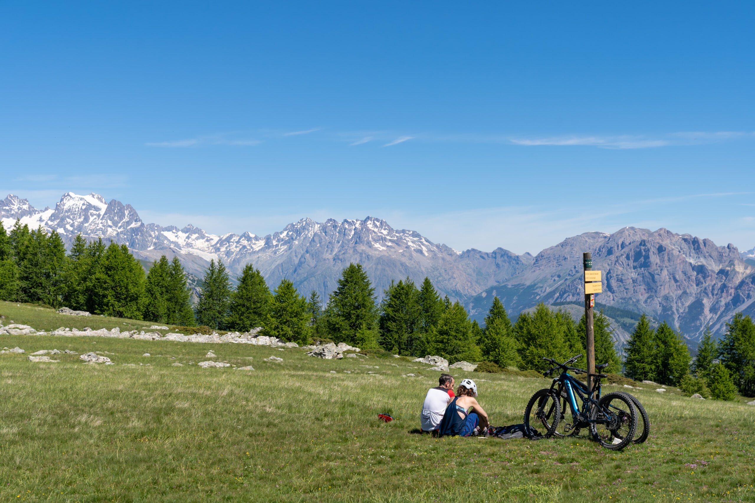
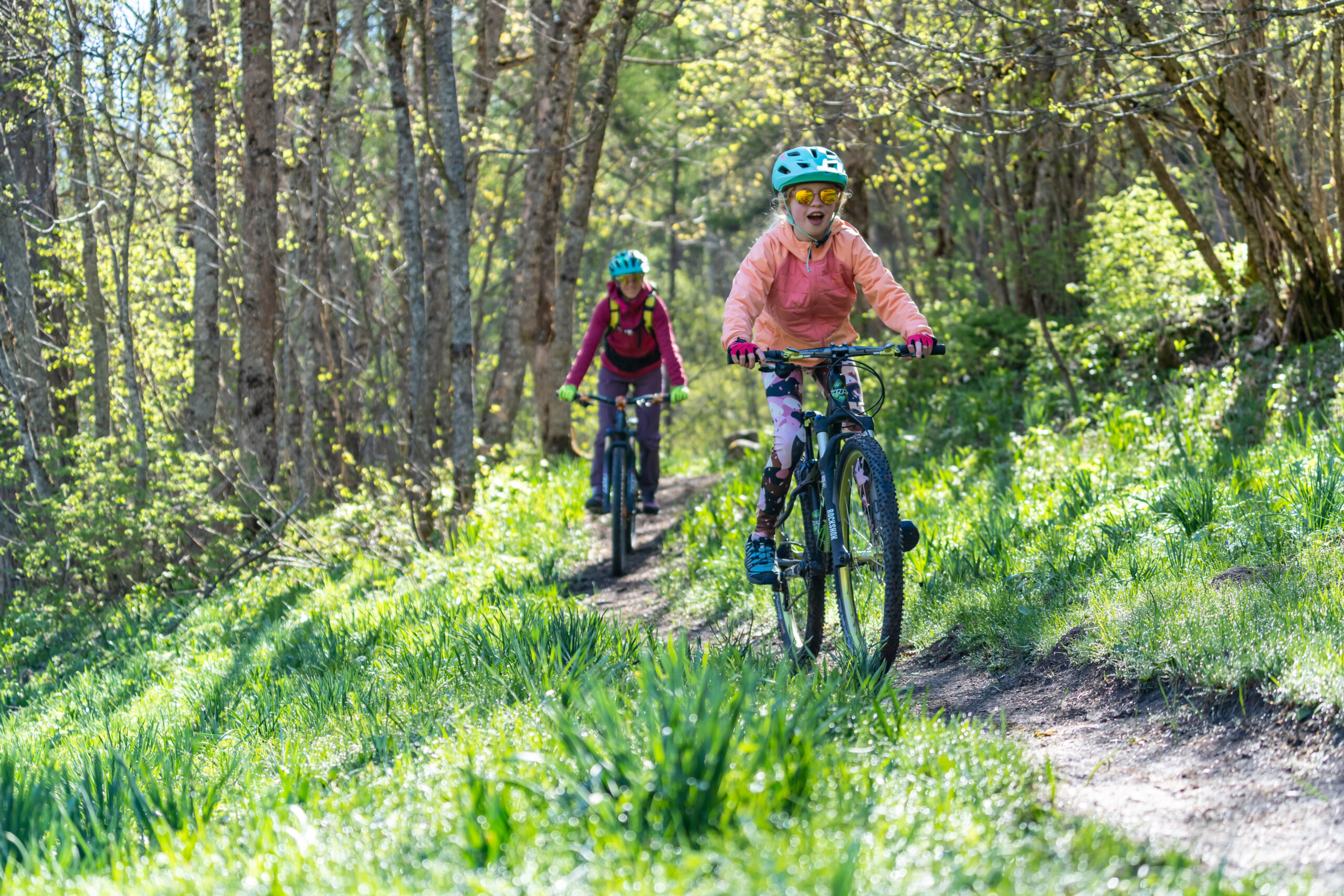
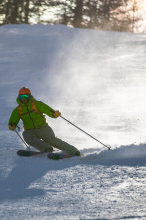
Champcella is also a starting point for hiking, trail running and mountain biking, with routes that climb up to the Tête de Vautisse (3,156 m) or wind along the surrounding ridges. Climbing enthusiasts find local routes, and the proximity of the Durance opens up to white water sports. In winter, Nordic skis, ski touring and snowshoeing are quickly accessible from the nearby Freissinières valley. The Rama lake, a former quarry, completes the offer with easy nature breaks.
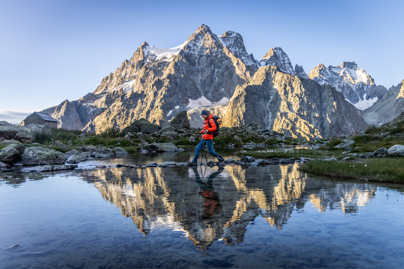
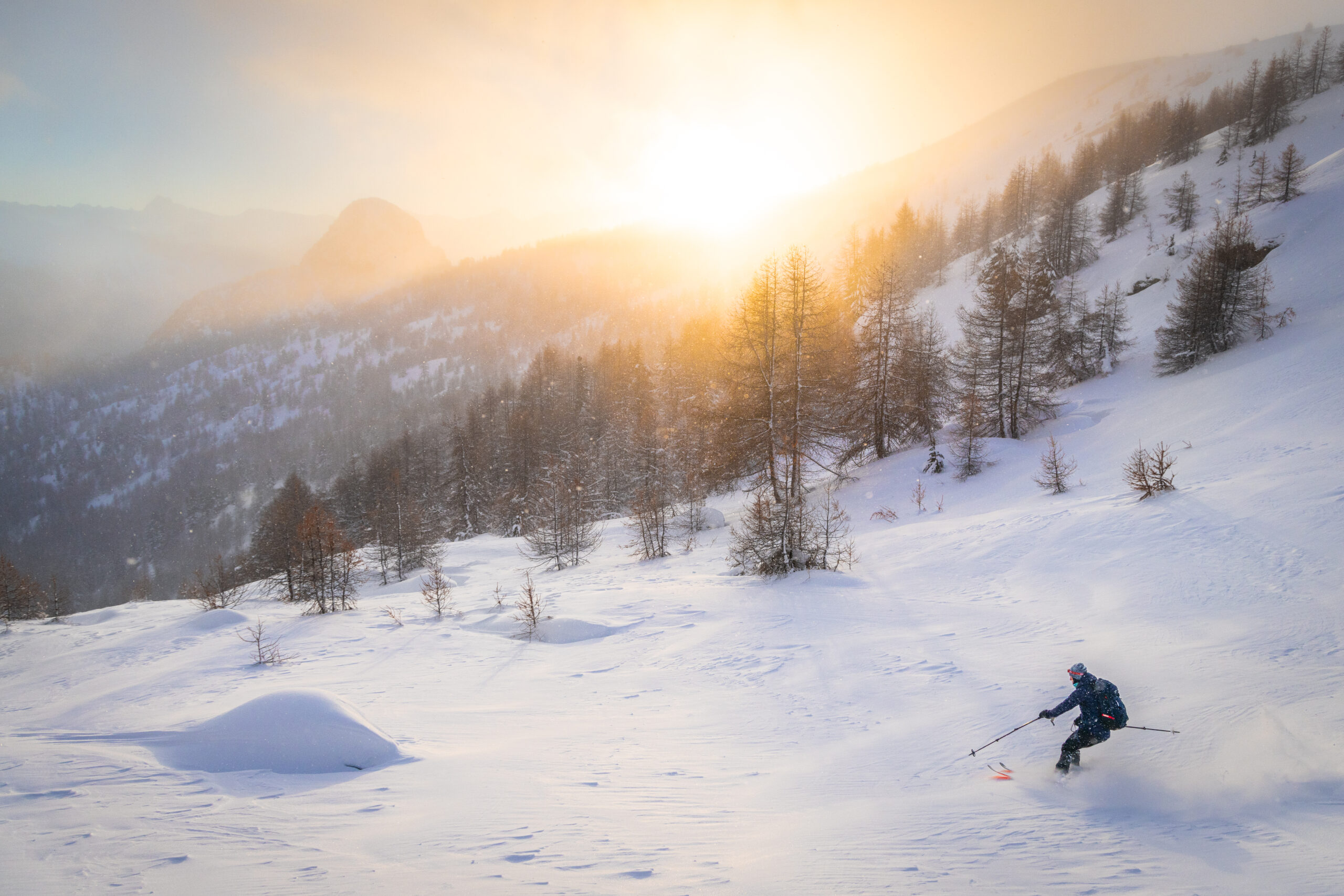
On the side of the Outdoor activities
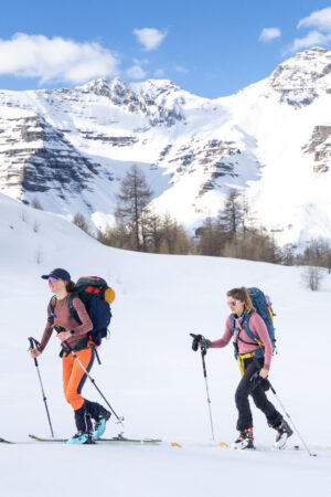
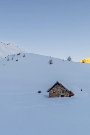
In winter, Champcella serves as a convenient starting point for exploring the Pays des Écrins: the Freissinières area (open from mid-December to mid-March) offers more than 15 km of cross-country ski trails and snowshoe loops in a quiet and sunny atmosphere. Ski touring enthusiasts can set off from Champcella to the Col de Tramouillon or the Tête de Vautisse via classic routes (always keeping an eye on the conditions and avalanche risks). You can also vary the outings with snowshoe walks to the neighbouring hamlets or rely on local structures for supervised experiences, such as discovering Nordic skiing with the family.
{"locations":[{"lat":"44.738051","lng":"6.566883","title":"Auberge La Dormilhosa","permalink":"https:\/\/www.paysdesecrins.com\/en\/fiche\/auberge-la-dormilhosa-3\/","type":"restauration","commune":"Champcella","type_commerce":"","image":"https:\/\/static.apidae-tourisme.com\/filestore\/objets-touristiques\/images\/150\/217\/776598-diaporama.jpg","image_width":"350","image_height":"350","image_fit":"cover"},{"lat":"44.723688","lng":"6.571937","title":"La Bergerie","permalink":"https:\/\/www.paysdesecrins.com\/en\/fiche\/la-bergerie-4\/","type":"restauration","commune":"Champcella","type_commerce":"","image":"https:\/\/www.paysdesecrins.com\/wp-content\/uploads\/2025\/06\/paysdesecrins.png","image_width":"350","image_height":"350","image_fit":"cover"}],"center_lat":"44.738051","center_lng":"6.566883"}
{"locations":[{"lat":"44.736952","lng":"6.557725","title":"Agn\u00e8s Brard “Le Jas des Rousses”","permalink":"https:\/\/www.paysdesecrins.com\/en\/fiche\/agnes-brard-le-jas-des-rousses-3\/","type":"hebergement_locatif","commune":"Champcella","type_commerce":"","image":"https:\/\/static.apidae-tourisme.com\/filestore\/objets-touristiques\/images\/191\/51\/16659391-diaporama.jpg","image_width":"350","image_height":"350","image_fit":"cover"},{"lat":"44.731182","lng":"6.567162","title":"Marcien B\u00e9n\u00e9dicte","permalink":"https:\/\/www.paysdesecrins.com\/en\/fiche\/marcien-benedicte-3\/","type":"hebergement_locatif","commune":"Champcella","type_commerce":"","image":"https:\/\/www.paysdesecrins.com\/wp-content\/uploads\/2025\/06\/paysdesecrins.png","image_width":"350","image_height":"350","image_fit":"cover"}],"center_lat":"44.736952","center_lng":"6.557725"}
Discover our all-inclusive stays and let us organize your mountain immersion: accommodation, guided activities, and local experiences are gathered for you. Choose your formula, from a rejuvenating weekend to a week of adventure, and take full advantage of the landscapes, the know-how and the conviviality without worrying about anything.