


Latest News
Last updated: 10/26/14
Road Conditions at High Altitudes
- Entre-les-Aygues: Open as far as the Béassac Chapel
- Madame Carle’s Meadow / Ailefroide: Open as far as Ailefroide
- Chambran: Open
- Narreyroux: Open
- Pousterle Pass: Open (poor trail conditions)
- Dormillouse: Open
- Fournel Valley: Open
- La Roche de Rame: Route du Lauzet: Open (trail)
- Saint Martin de Queyrières: Road from Sainte Marguerite to the parking lot below the Oriol refuge: Open (dirt road)
public transportation
High-altitude mountain passes
Check traffic conditions on the mountain roads and high-altitude passes in the Hautes-Alpes, as well as the webcams, on theInfo Route 05 website (click on “webcam” in the right-hand sidebar).
Trail Information
Access to the Pré de Madame Carle and the Glacier Blanc
Road closed to cars starting from Ailefroide due to flooding in late August!
If walking, stick to the left bank (the side with the road); a trail marked by cairns connects the remaining sections of road and leads you to the Pré de Madame Carle without much difficulty (1 hr / 1 hr 30 min).
Trail between Ailefroide and Pré de Madame Carle (right bank)—challenging: missing sections, occasional lack of trail markers, very strenuous.
Then comes the start of the trail leading to the White Glacier (crossing the Saint-Pierre torrent), which is tricky. The rest of the route remains the same as last year all the way to the mountain hut.
Entre-les-Aygues Valley “Cabane Jas Lacroix”
Add an additional 30-minute walk from the Béassac Chapel parking lot to the bottom of the valley.
Refuge des Bans
Same as above. Add an additional 30-minute walk between the Béassac Chapel parking lot and the bottom of the valley. Plus another 30 minutes to reach the shelter, due to route changes, for a total of 3 hours one way.
Celse Nière Ailefroide Valley
Clapouse’s Hump: No problem.
For the Pelvoux and Sélé mountain huts: the trail at the bottom of the Celse Nière valley is damaged; there are a few missing trail markers and some challenging sections over rocky terrain.
Vallouise to Pelvoux
Left Bank Fisherman’s Trail: Closed. The trail was partially washed away by the flood in late August.
Right Bank Fisherman’s Trail: Open. The right bank is accessible.
L’Argentière-la-Bessée and Freissinières
Since the fire in July 2026, some trails remain closed: find details on the restricted areas here; for more information and updates on this area, visit Illiwap (L’Argentière-la-Bessée, Freissinières)
via ferrata
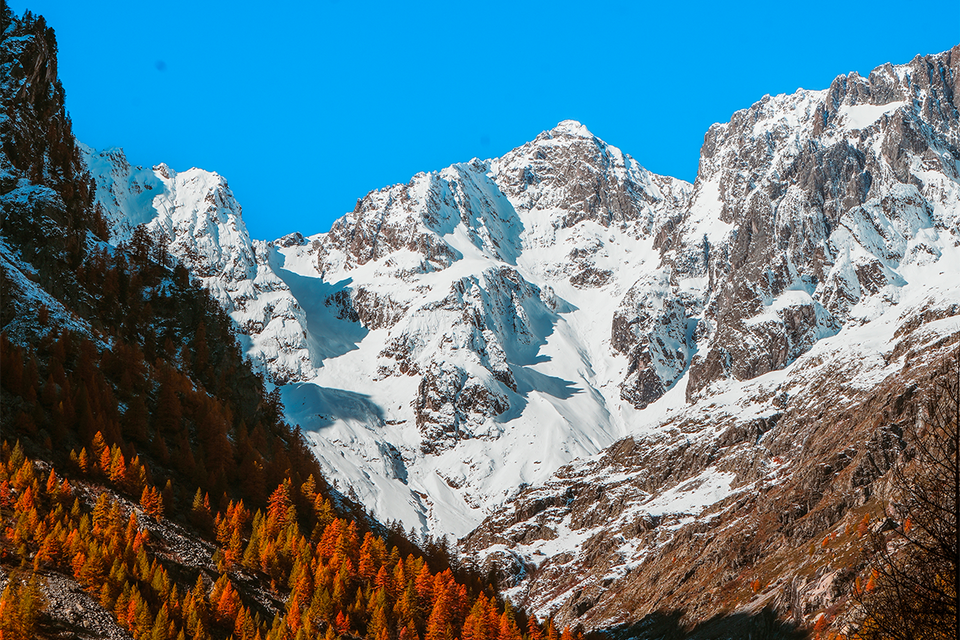
Below is a list of via ferrata routes and their current operating status:
- Freissinières – The Cliff: Closed
- L’Argentière-la-Bessée – The Clock: Open
- L’Argentière-la-Bessée – The Durance Gorges (private): Open (at your own risk)
- Les Vigneaux – Le Colombier / La Balme: Open
- Pelvoux-Vallouise – The Ailefroide Gorges: Closed
- Puy-Saint-Vincent – La Combe: Open
- Puy-Saint-Vincent – Tournoux: Open
gr54
- STAGE Monêtier-les-Bains: No major issues on this stage. Signage is missing in Chambran; follow the road or use an IGN map. Once you reach Pelvoux Saint Antoine, head to the Pelvoux-Vallouise ski resort and take the trail on the right bank to Vallouise-Pelvoux, as the trail on the left bank was washed away by the flood. Alternative route via the Col des Grangettes—proceed with caution!
- STAGE Vallouise-Pelvoux / Pré de la Chaumette: There is no shuttle service on this date to the Béassac Chapel. Allow 2 hours for the hike to Entraygues. You can take shelter at the Jas Lacroix cabin. Watch out for the first snow and black ice when crossing the Col de l’Aup Martin. Be careful!

Restaurants and Bars
Vallouise-Pelvoux:
- Écrins de Suzette: 04 92 23 54 35: Open Thursday through Sunday for lunch and dinner, and Wednesday through Sunday during school breaks
- Auberge Saint Antoine: 04 92 58 59 38: Reopening on October 17 for lunch and dinner
- Nany’s Table: 07 85 64 01 50: Reopening October 19 for lunch and dinner
- Le Gyr: 04 92 55 77 61: Open Tuesday through Sunday for lunch and dinner
- La Vallouise Catering: 07 66 13 50 62: Closed from October 24 to December 10; closed on Sundays and Mondays during the first week of the All Saints’ Day break.
L’Argentière-la-Bessée
- Le Monde d’Après Brewpub: 06 95 11 19 17: Open in the evenings except Mondays
- Autour du Four: 04 92 23 00 69: Closed from Oct. 17 to Oct. 24; otherwise open daily
- Ice Rock: 06 37 47 90: Open for lunch and dinner except on Thursdays
Freissinières/Champcella:
- Les 5 Saisons: 06 89 19 28 98: Open for lunch and dinner. Closed from November 1 to December 18
La Roche-de-Rame
- Chalet du Lac: 04 13 38 32 63: Closed during the All Saints’ Day holiday; otherwise open Tuesday through Friday for lunch only, and on Thursday evenings for “Salsa Night.”
The Latest News
- Following the flooding in late August, part of the Pré de Madame Carle road was washed away. The road is closed starting from Ailefroide.
- Fall Fair, Sunday, October 18, in Vallouise
The Reception Team’s FAVORITE Hikes
FREISSINIÈRES: Dormillouse and Lake Fangeas IN THE ECRINS NATIONAL PARK
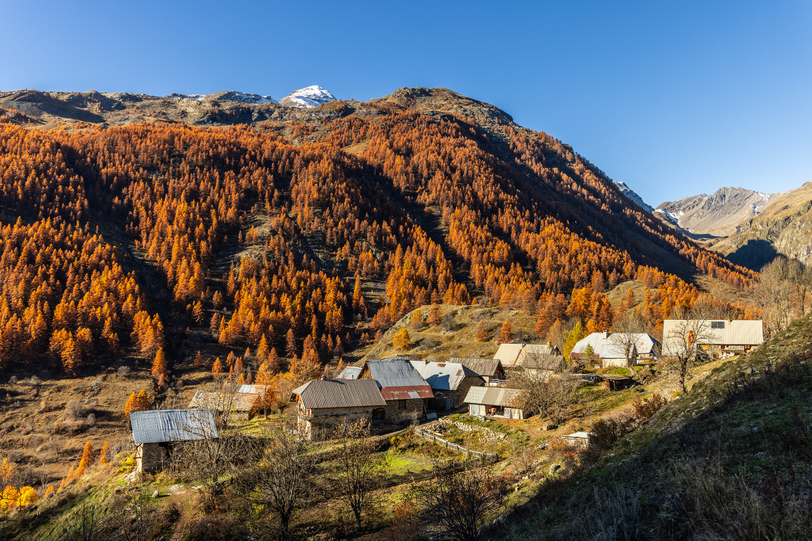
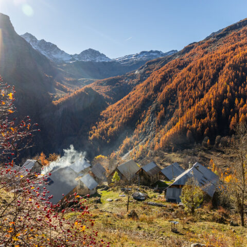
Park in the Dormillouse parking lot at the bottom of the valley; then walk 45 minutes to the hamlet of Dormillouse. From there, continue on to Lake Fangeas (about 45 minutes). From there, you can either continue a short distance across the wide plateaus toward the Col des Terres Rouges, or take the loop hike around Lakes Palluel and Faravel (a 5- to 7-hour loop—for experienced hikers). In the fall, the colors of the deciduous and larch forests, set amid numerous waterfalls, make this a truly splendid place.
LES VIGNEAUX: COL DE LA POUSTERLE / LES TÊTES
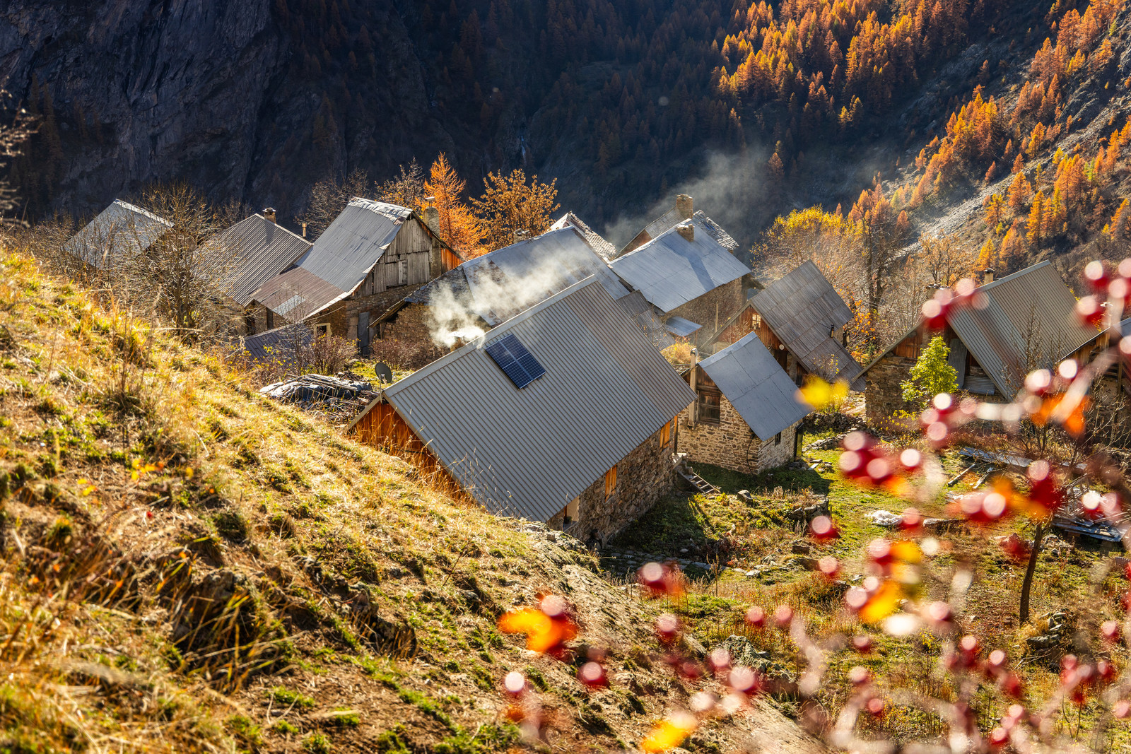
Head to Puy Saint Vincent (1,400 m), in the hamlet of Les Prés, and drive up toward Col de la Pousterle. Park 2 km before the pass, where the road turns unpaved.
Reach the Col de la Pousterle in 30 minutes on foot. Stunning panoramic views of the Pelvoux and the Vallon du Fournel amid the larch trees. You can also hike up to Les Têtes in 1 hour and 30 minutes, where the 360° view is magnificent. You can return by taking a loop trail. Total round-trip walking time: 3 hours and 30 minutes; elevation gain: 450 m.
VALLOUISE-PELVOUX: PUY AILLAUD: Chalets de Pimouget
Park in downtown Vallouise-Pelvoux, then at the first turn after the Edelweiss bakery, take the trail on the right marked “Sentier de la Pinée.” It takes 1 hour and 45 minutes to walk to the hamlet of Puy Aillaud. From Puy Aillaud, at the top of the village, take the wide trail leading to the paragliding launch site—about a 30-minute walk—then continue on to the Pimouget chalets, which you can reach easily in 30 minutes. Return via the same trail. Elevation gain: 450 m; one-way travel time to the chalets: 3 hours.